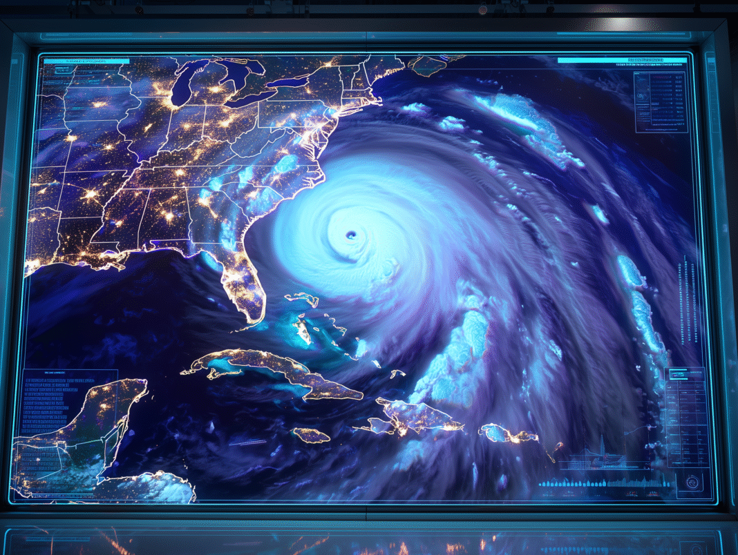
40 mph winds and heavy rain heading for South Carolina coast as storm expected to make landfall Sunday
The Third Storm of an Active Season
Tropical Storm Chantal just became the third named storm of what’s shaping up to be another active Atlantic hurricane season.
The storm formed off the southeastern coast near South Carolina and is taking direct aim at the Carolinas with 40 mph sustained winds and the potential for significant coastal flooding.
Landfall timing: Late Saturday night into Sunday
Target area: South Carolina to North Carolina coast
Primary threats: Heavy rain, coastal flooding, dangerous surf
Tropical Storm Warning in Effect
The National Hurricane Center has issued a Tropical Storm Warning from South Santee River, SC to Cape Fear, NC as Chantal approaches the coast.
What this means: Tropical storm conditions are expected within the warning area, with residents urged to complete storm preparations immediately.
The window for preparation is closing fast as the storm approaches this weekend.
Not a Major Hurricane, But Still Dangerous
While Chantal isn’t expected to intensify significantly, storms don’t need to be hurricanes to cause serious problems:
Current strength: 40 mph sustained winds
Forecast intensity: Not expected to strengthen much
Still dangerous: Heavy rain and flooding remain major threats
Coastal impact: Storm surge and rough seas expected
Remember: It’s the water, not the wind, that kills in most tropical storms.
The Flooding Threat That Matters Most
Heavy rainfall will be Chantal’s primary weapon against the Carolinas:
Expected rainfall: Several inches across the region
Flood risk: Minor to moderate flooding in low-lying areas
Storm surge: Coastal areas face water level rises
Duration: Rain bands could linger after landfall
Even “minor” flooding can turn deadly quickly.
Dangerous Ocean Conditions
Chantal is already creating hazardous conditions along the Southeast coast:
Rough surf: Large waves making beach conditions dangerous
Rip currents: Life-threatening undertows along affected beaches
Coastal erosion: Waves eating away at dunes and shorelines
Boating conditions: Small craft should remain in port
Stay out of the water this weekend.
Weekend Plans Disrupted
Chantal’s timing couldn’t be worse for Fourth of July weekend activities:
Beach plans: Canceled due to dangerous surf and weather
Outdoor events: Rain and wind threatening celebrations
Travel: Coastal highways could see flooding and delays
Power outages: Possible but not expected to be widespread
What “Minor Flooding” Actually Means
Don’t let “minor flooding” fool you:
Roads become impassable with just a few inches of water
Cars get stranded in seemingly shallow flooding
Drainage systems overwhelm quickly in urban areas
Basements and low areas fill with water
Minor flooding can still ruin your weekend and your property.
The No-Tornado Good News
Unlike many tropical systems, Chantal is not expected to produce significant tornado activity, which removes one major threat from the equation.
This means: Focus can remain on the primary threats of wind, rain, and flooding without worrying about widespread tornado warnings.
Coastal Communities Should Prepare Now
If you’re in the warning area, complete preparations immediately:
Secure outdoor furniture and decorations
Stock up on water and non-perishable food
Charge electronic devices in case of power outages
Review evacuation routes if you’re in flood-prone areas
Fill up gas tanks before the storm arrives


